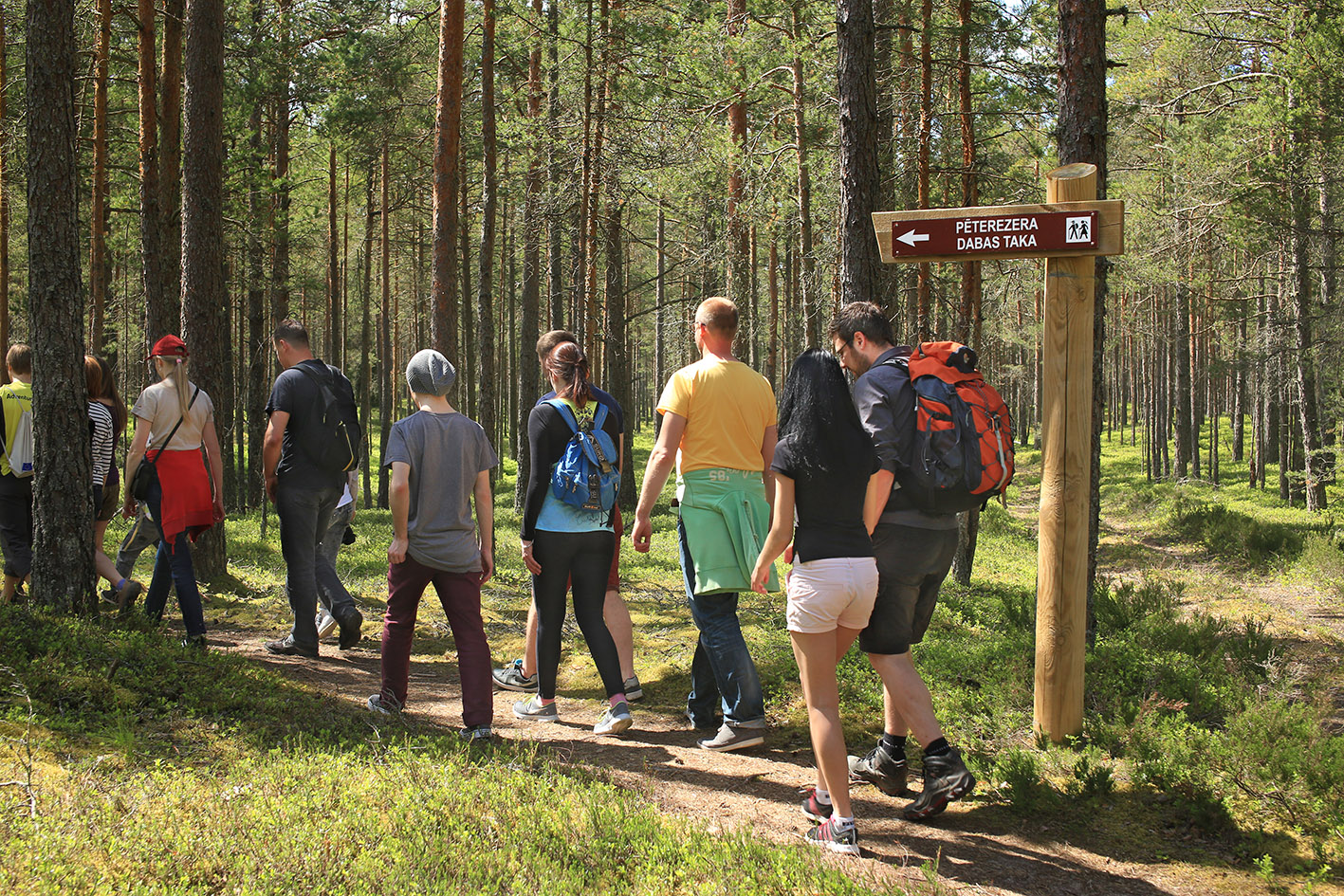
Pēterezers nature trail
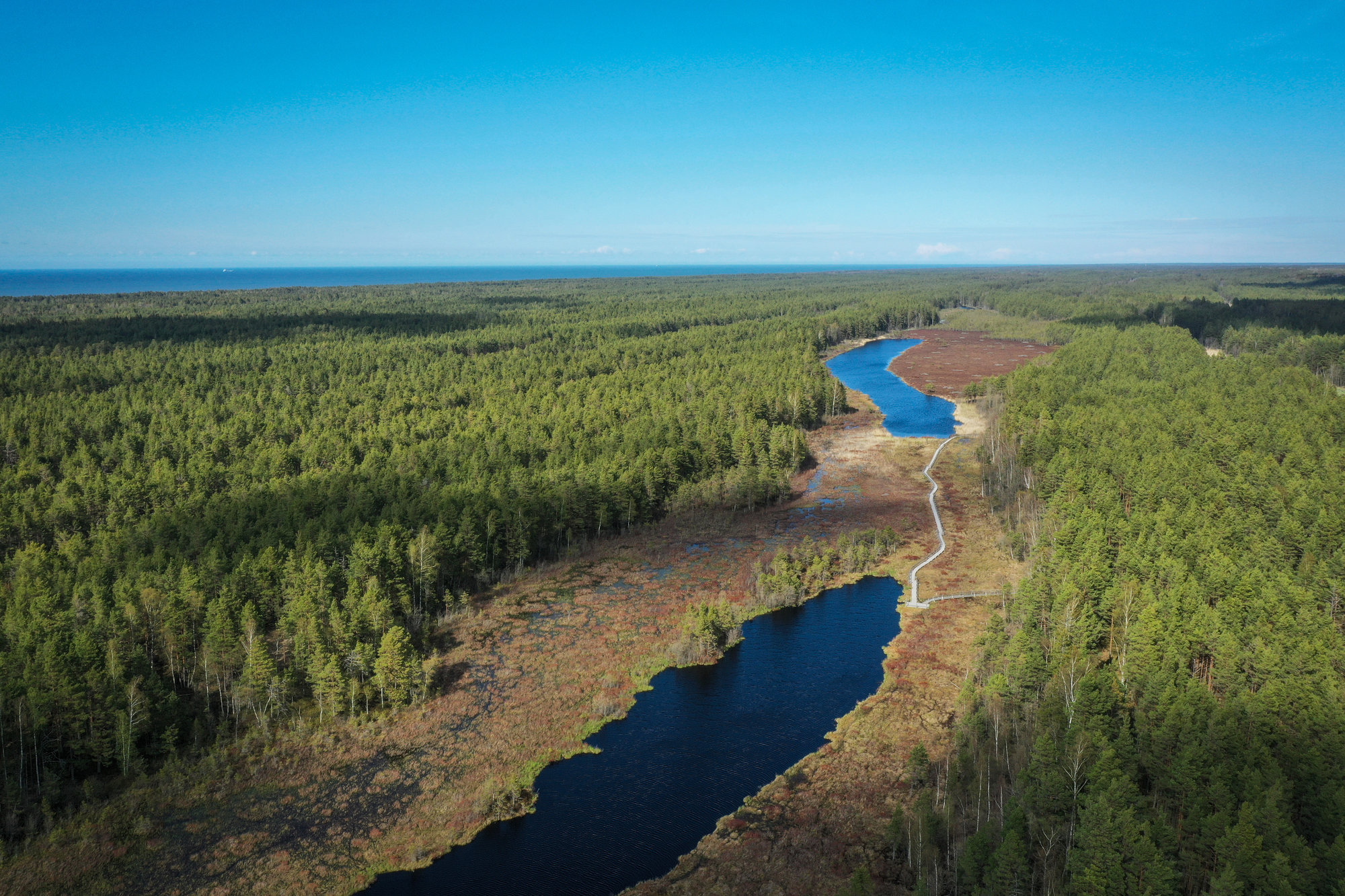
The trail extending for 3.4 km leads through a globally unique nature structure that cannot be found elsewhere in the world - a system of dunes and depressions between dunes. The dunes are located parallel to the sea.
Dunes and depressions were formed 6000 years ago when the Baltic Sea was emerging here. During ancient times almost each dune and depression had its own name that are known by just few nowadays. The peculiar names (Vīškangars, Kusperlankviga) originate from the Livonian language.
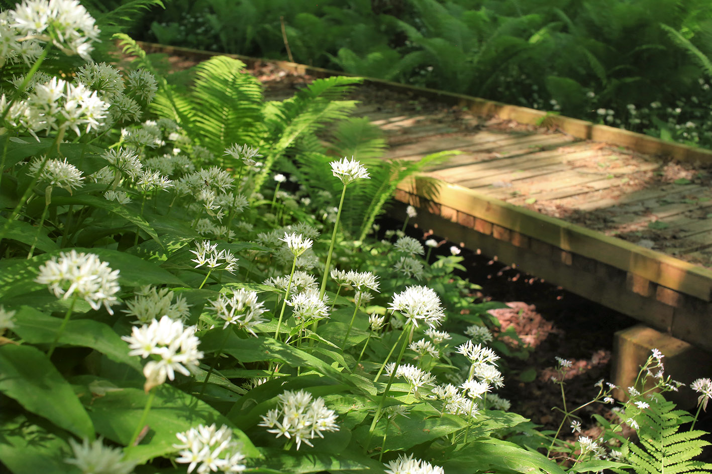
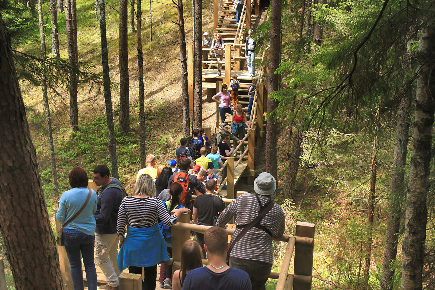
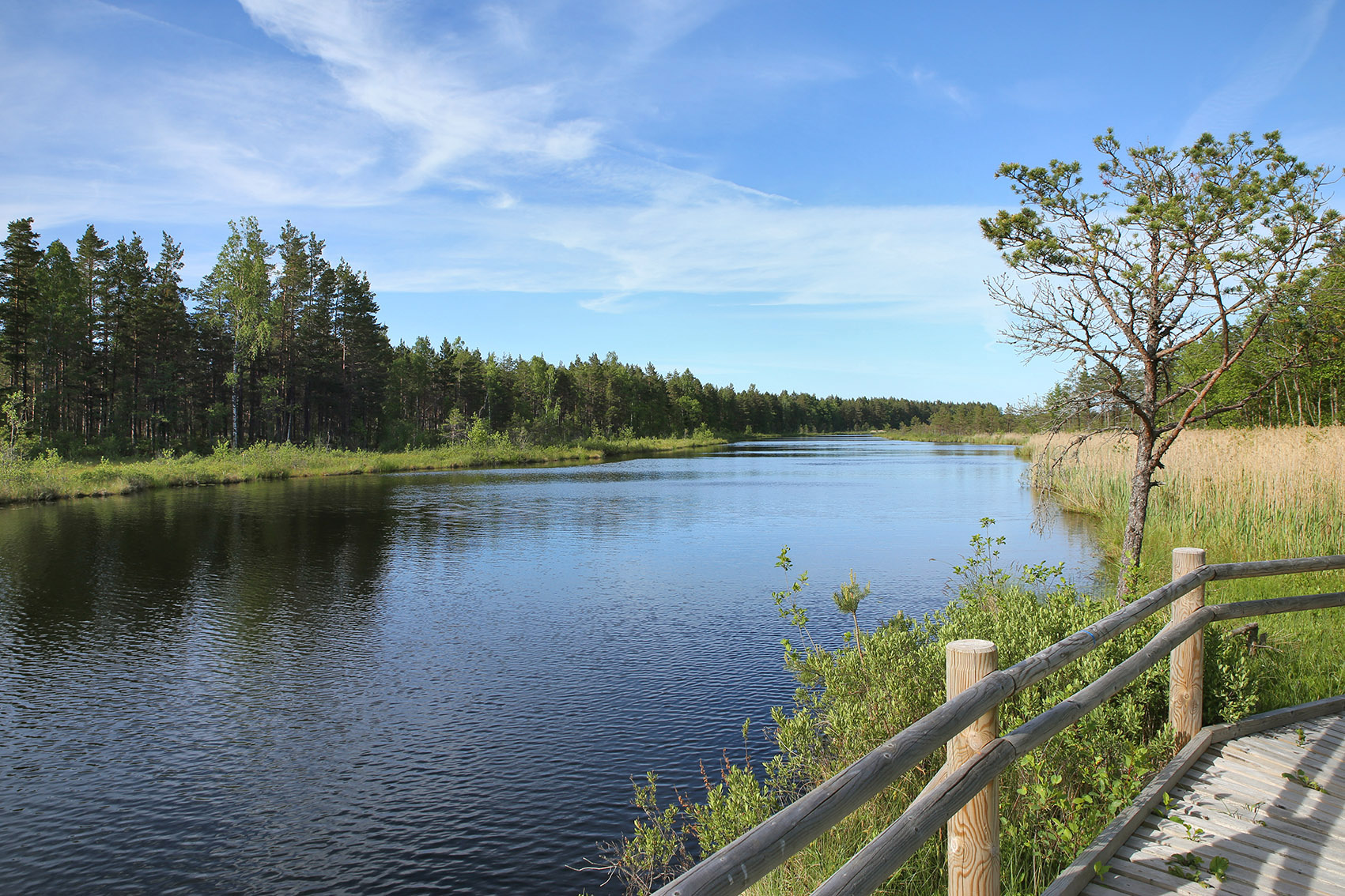
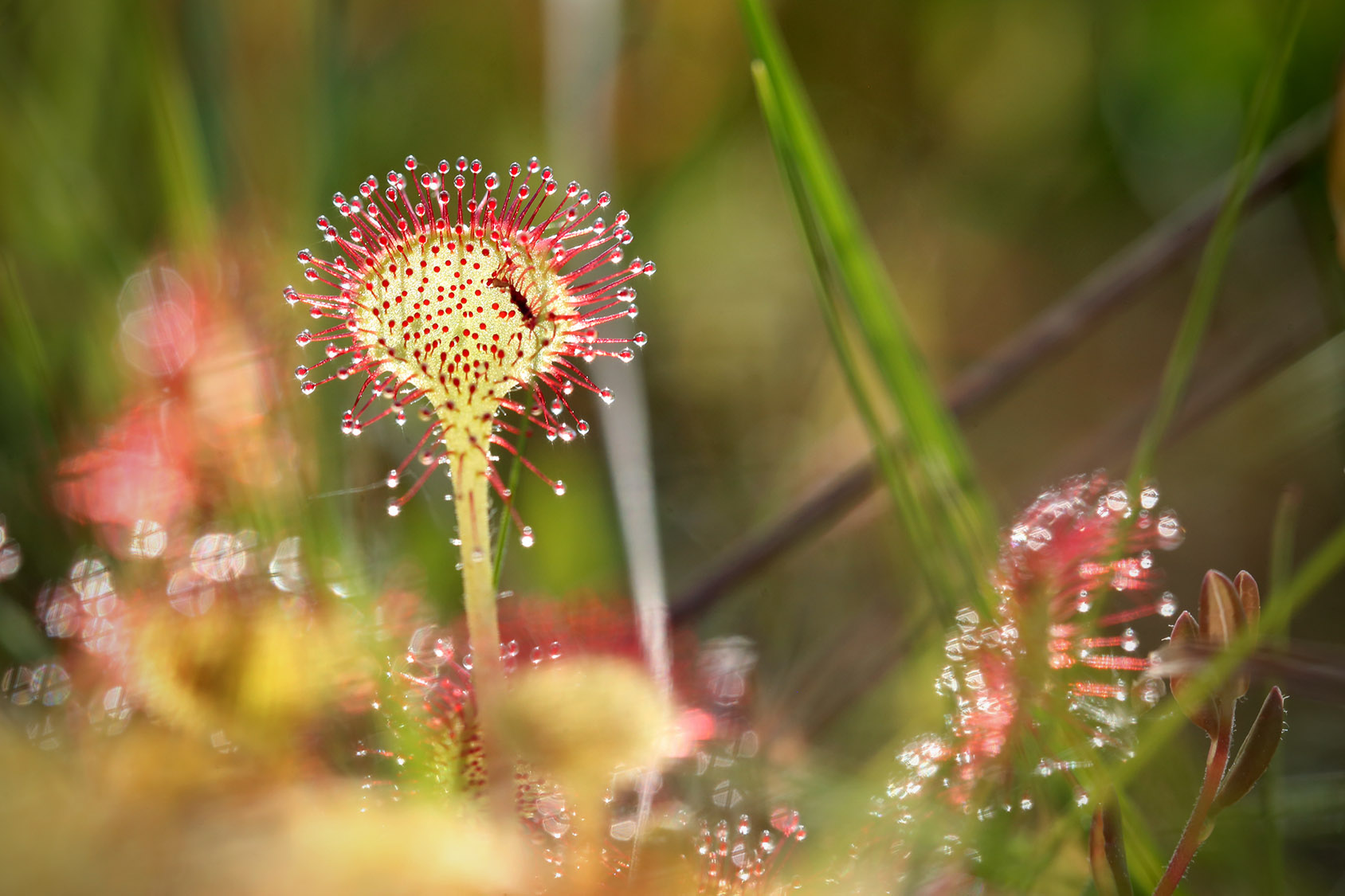
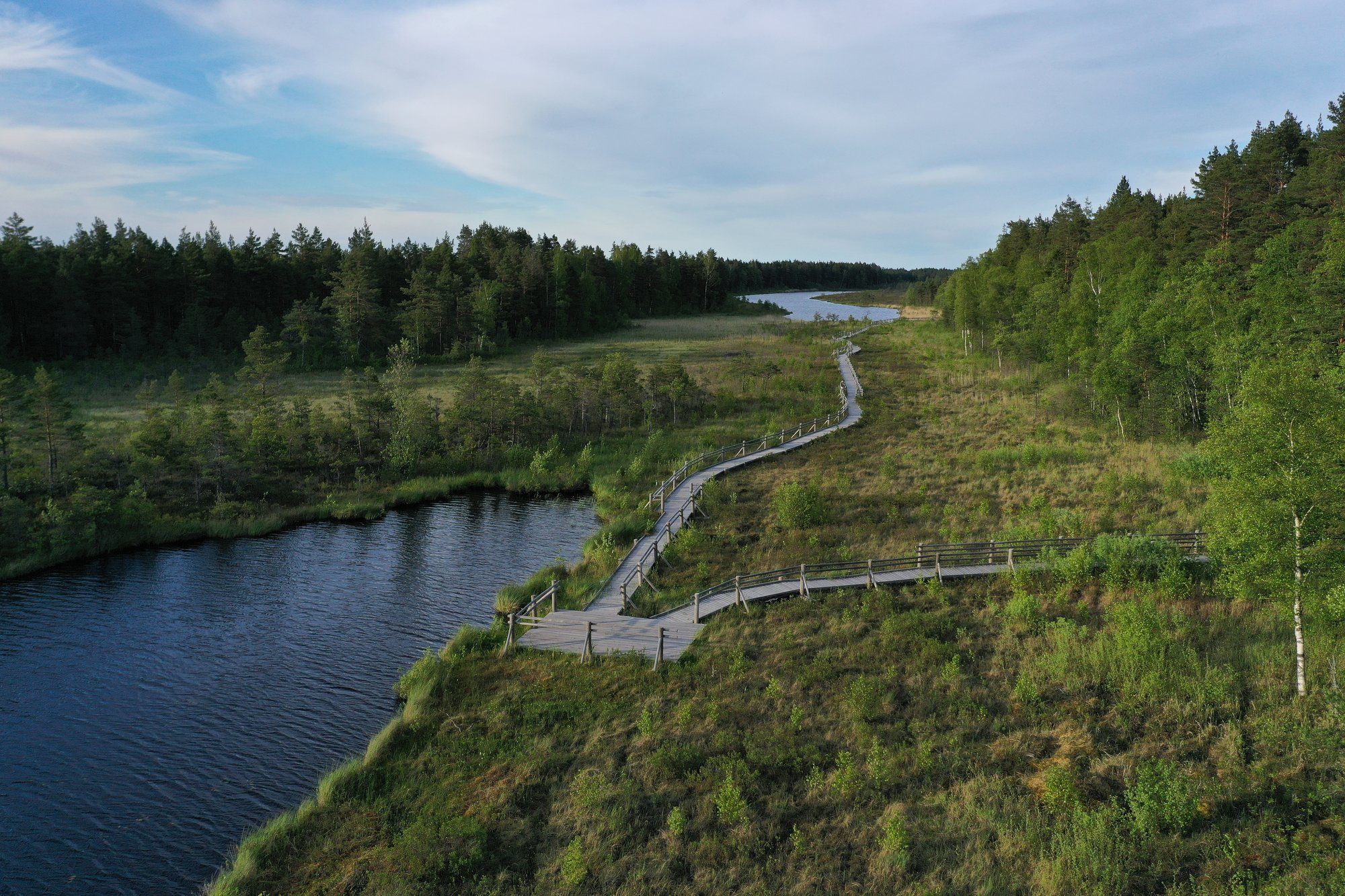
Pēterezers lake depression is richest from the point of view of biologic diversity, this is the habitat for rare species of plants and animals. The coast of the ancient sea — Stiebrukalns — is the highest dune.
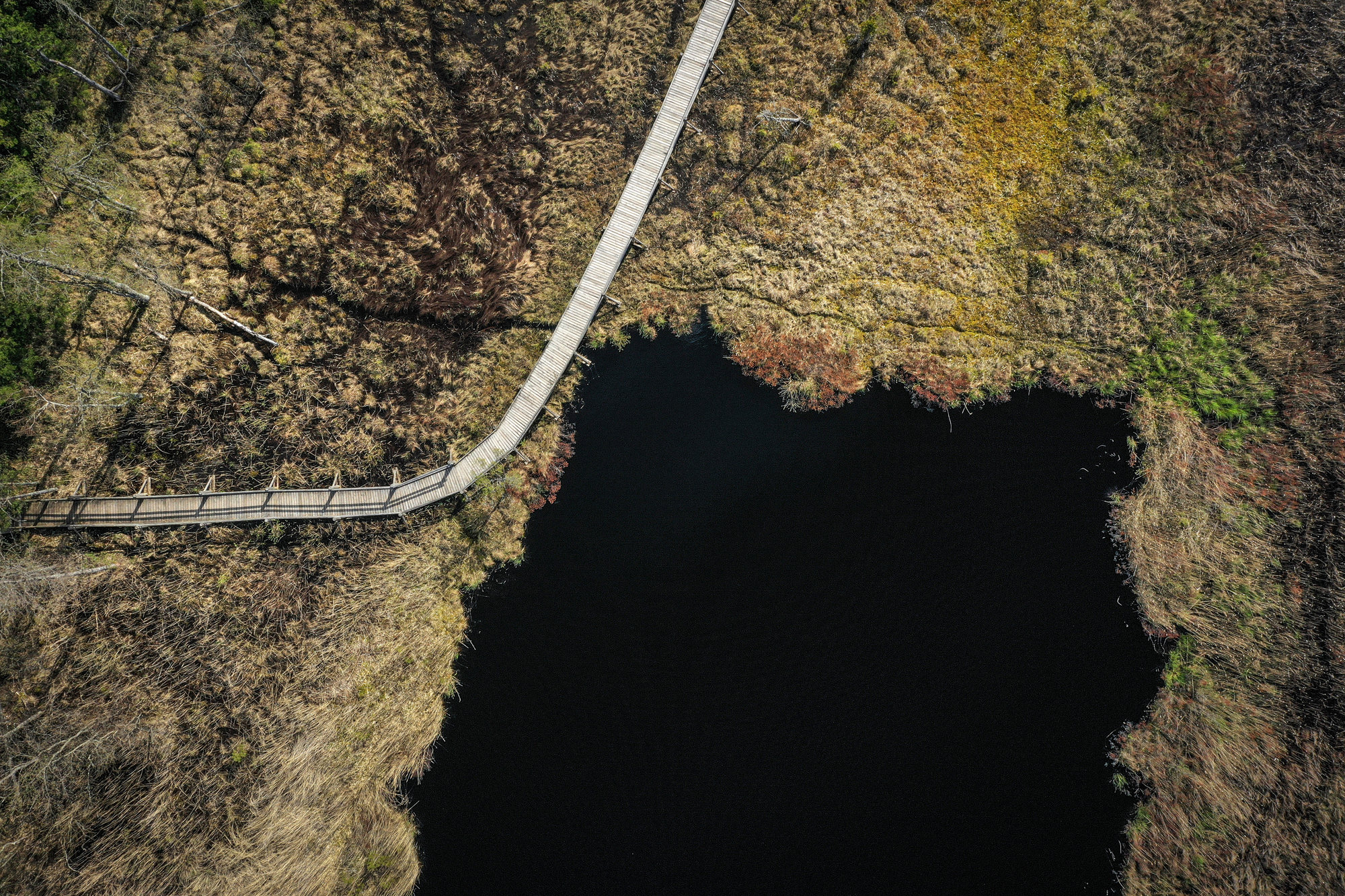
The trail crosses the former route of the narrow railway, which is one of the longest and highest dunes, the depression of Stiebrukalni and Pīļu pond. Mazbānītis [the little train] was in operation here until 1962 and this was an important local means of traffic connecting Dundaga and coastline villages with Ventspils and Talsi.
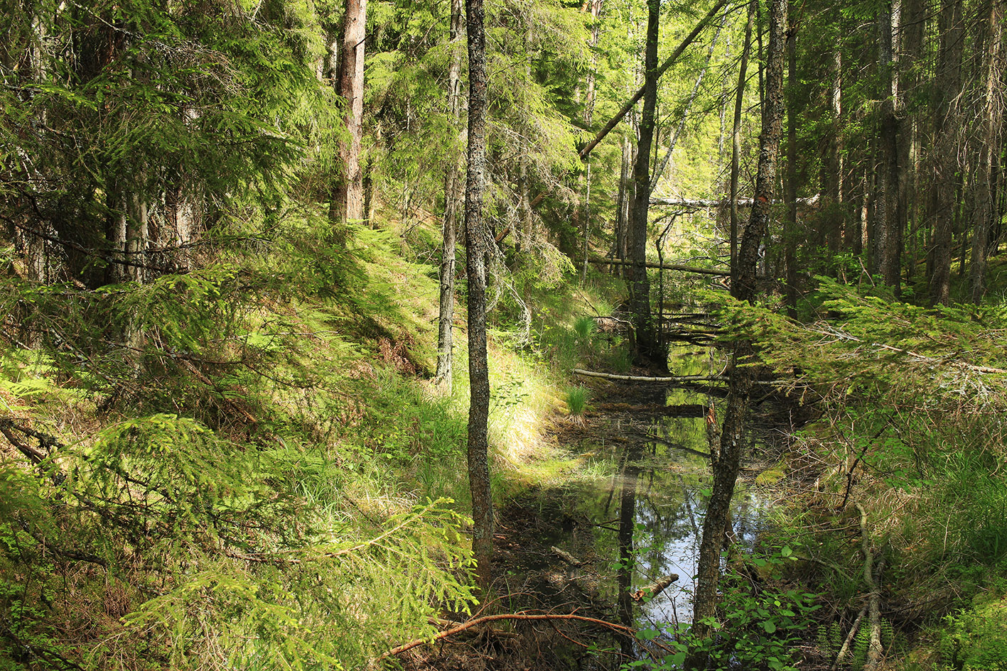
A peculiar landscape is made by grass bogs, rivers, small lakes and diverse plants. In springs and autumns the depressions turn into long seasonal lakes that are difficult to cross.
Enjoy the charm of the Northern Kurzeme forest and take a glimpse into the eyes of the small lakes!